Ask where the file came from
Check who supplied the track and what it represents. It may be a recorded outing, a route drawn on a map or a file published for a particular event. Those origins have different limitations. A recorded detour can be a navigation mistake rather than a recommended variation; an event route can depend on temporary permissions that do not apply on an ordinary day.
Look for a date, a written description and access information from the relevant route manager. If these are missing, treat the file as a starting point for research. Do not fill the gaps with assumptions based on the activity title. A route called easy may have been labelled by someone with different expectations about surface, climbing and exposure.
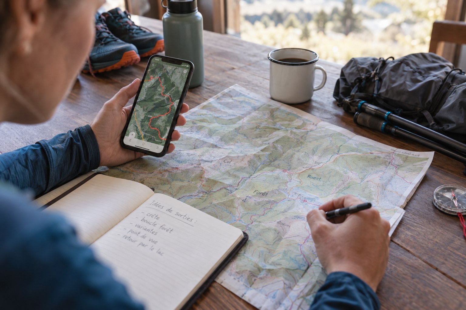
Inspect the line against a map
Open the track on a map with enough detail to examine crossings and connections. Look for abrupt straight segments, unexpected loops, roads and places where the line leaves an obvious path. These features are questions to resolve before departure. They do not necessarily prove the route is wrong, but following them without investigation can turn a small file problem into a large detour.
Identify where you could shorten the outing and how you would return if a crossing or section were unavailable. Download the surrounding map rather than only the track. Keep a simple description of key junctions and destinations. This wider picture helps you recognise when the screen’s line and the route on the ground no longer agree.
Check the transfer to the device you will carry
A route that looks correct on a large screen can be confusing after import to a watch or phone. Open the transferred file and confirm the starting point, direction and finish. Check that the name distinguishes it from an earlier draft or another distance. If the device offers several route-following options, read what each does before selecting one; do not assume that a similarly named activity automatically uses the intended navigation file.
Compare one complicated junction on the device with the original map. Can you see enough surrounding detail to understand the choice, or only a thin line? This is not necessarily a fault, but it tells you what other information you need. Keep the broader map accessible at a stop and rehearse returning to the route screen after checking it. Avoid discovering an import mistake at the trailhead when the rest of the group is ready to leave and you feel pressured to accept whichever file happens to open.
Let the ground overrule the screen
Stop before entering a closure, doubtful crossing or terrain beyond your experience. A line continuing ahead is not permission to proceed. Read signs and assess the actual conditions. If the track appears to pass through private access or a barrier, resolve the access question through current information or choose an authorised alternative; do not assume the GPS knows something the sign does not.
If your position appears slightly off the line, first establish where you are using visible features. Avoid stepping off a clear path merely to make the marker sit exactly on the track. The relevant decision is which real path connects to your next known point, not whether two coloured graphics overlap perfectly.
After the outing, preserve useful corrections separately from the original file. Describe a changed junction or unavailable connection in plain language. If you share the route, include those limits and avoid presenting one successful visit as proof of permanent access. A GPX file becomes more useful when accompanied by context, not when treated as an instruction that must be obeyed.