Mark the decision points
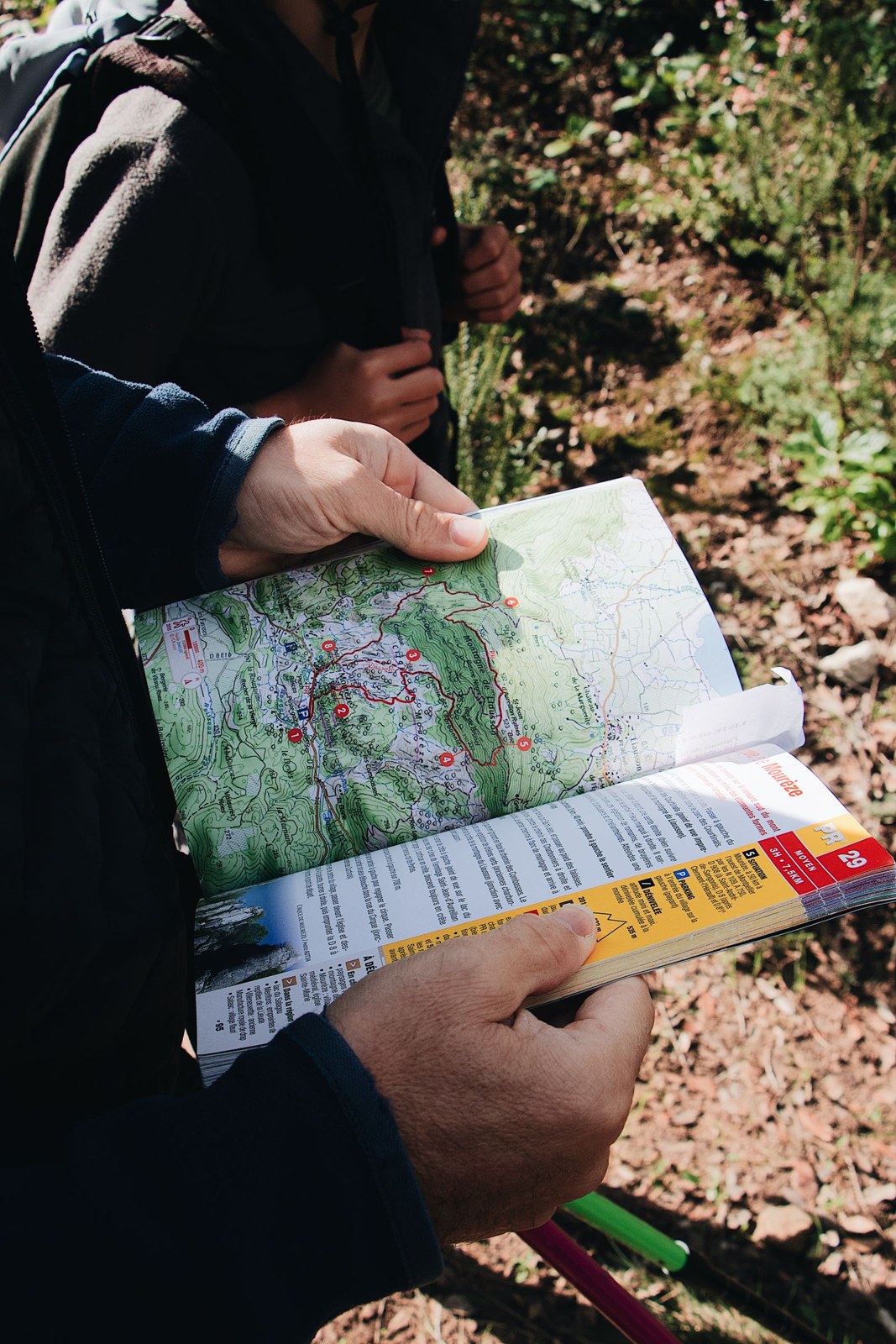
On the map, locate the start, the furthest section and the junctions where you could leave the planned loop. Examine where each alternative actually ends. A forestry track may reach a locked access point, a road without a suitable walking connection or a different side of the forest. Its direction alone does not make it an exit.
Choose one or two alternatives you can describe simply. For example, a signed path that returns to the village may be easier to remember than several unnamed tracks. Note a landmark at the junction and the destination beyond it. Keep the relevant map area available offline, including the return beyond the forest boundary rather than only the loop itself.
Decide while the alternative is still ahead
Give yourself a checkpoint before passing the last convenient shortcut. Consider remaining daylight, the group’s pace, the weather and any unexpected difficulty. If the outing is taking longer than planned, using the shorter connection now may be simpler than looking for an exit later. A route that remains enjoyable when shortened is more useful than one that only works at the original distance.
If you miss a junction, stop and establish your position before improvising. Continuing because the path looks roughly correct can make the correction longer. Return to a known point when that is safe and appropriate. Avoid cutting through vegetation to meet a line on the map; there may be fences, steep ground or protected areas that the small screen does not make obvious.
Check the shortcut from both ends
A useful map exercise is to follow the proposed exit backwards from the place where you expect to finish. Does the village street actually connect to the forest track? Is the apparent link a public path or simply a line whose meaning you have not checked? Compare the legend and current access information. If you cannot establish the connection, keep it as an unanswered question rather than labelling it an escape route.
For a familiar local forest, you may be able to inspect the exit on a separate short walk before relying on it during a longer run. Note the sign at the junction and what you see when approaching from the forest side. A route can be obvious in one direction and easy to miss in the other. Save a concise description that identifies the actual turning point, then keep it with the map rather than expecting a photograph of an unnamed tree to remain meaningful months later.
Include the final journey home
An exit is not complete until you know how to get back. Check whether the alternative reaches the parked car, a usable public transport stop or a place where an agreed lift can collect you. Do not assume that a road means reliable phone reception or a convenient place for a vehicle to stop.
Share the options with companions before running. If only one person has the map and understands the shortcuts, the group depends on their device and decisions. A photograph of the relevant map or a short written description can help others follow the plan. After the outing, update your notes if a junction was unclear or the supposedly convenient return proved awkward.