Choose the stretch and the approach together
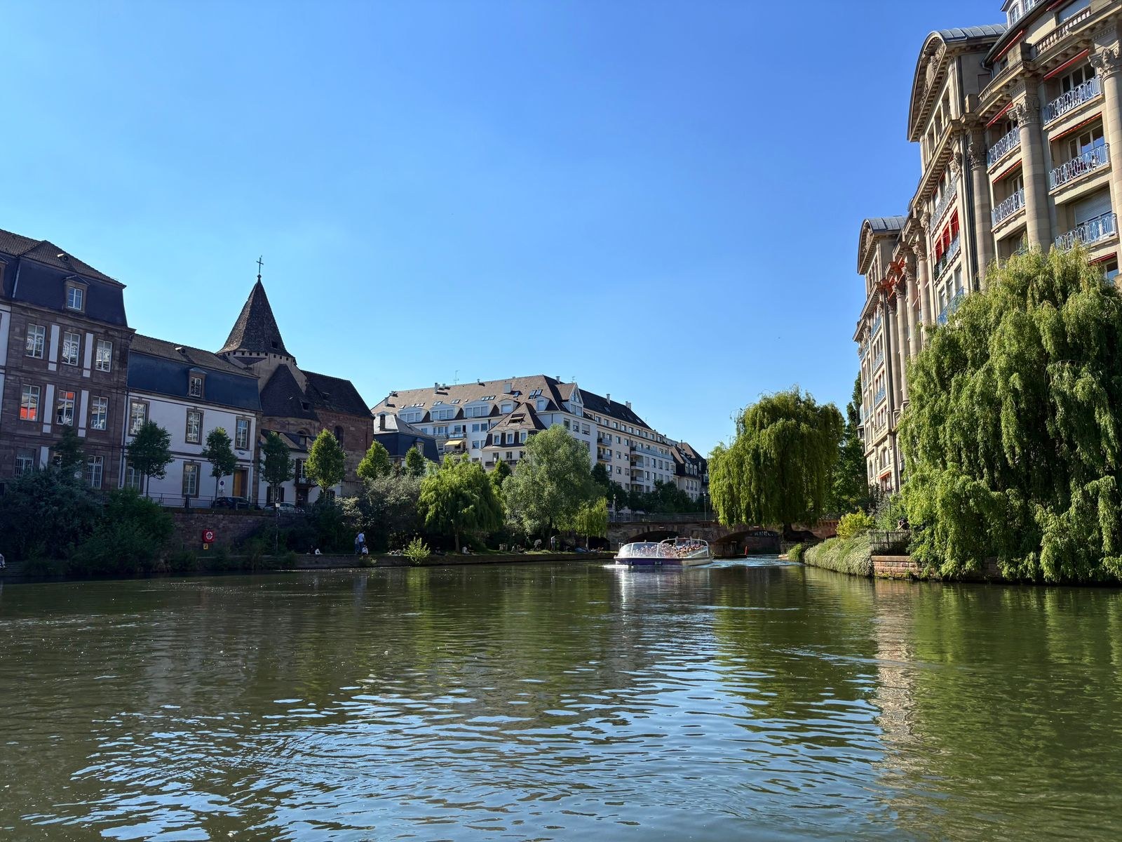
Strasbourg’s municipal information about the Parc naturel urbain identifies paths and cycle routes along the Canal de la Bruche among its urban-nature connections. Use the official map as a starting point for research, then identify the exact section you want to use. This article is a planning method, not a surveyed route or a guarantee that every bank is currently accessible.
Pick a named access point you can find from your accommodation or transport stop. Inspect the street approach as well as the waterside path. A route that looks simple once beside the canal can still involve an awkward crossing before you reach it. Save a wider map that includes the surrounding streets, rather than only a thin strip following the water.
Decide how you will come back
An out-and-back is often easier to understand on a first visit than a loop that depends on an unverified bridge. Choose a turnaround landmark and a time limit before leaving. If you want to change banks, confirm that the crossing is open to your mode of travel and that there is a usable onward path on the other side.
Do not treat every line beside the water on a map as a public running path. Check signs and current notices at the access point. A closed section is a reason to use the prepared alternative, not to squeeze around a barrier or continue along an unsuitable edge. Keep enough flexibility to shorten the outing without turning it into a navigation exercise under time pressure.
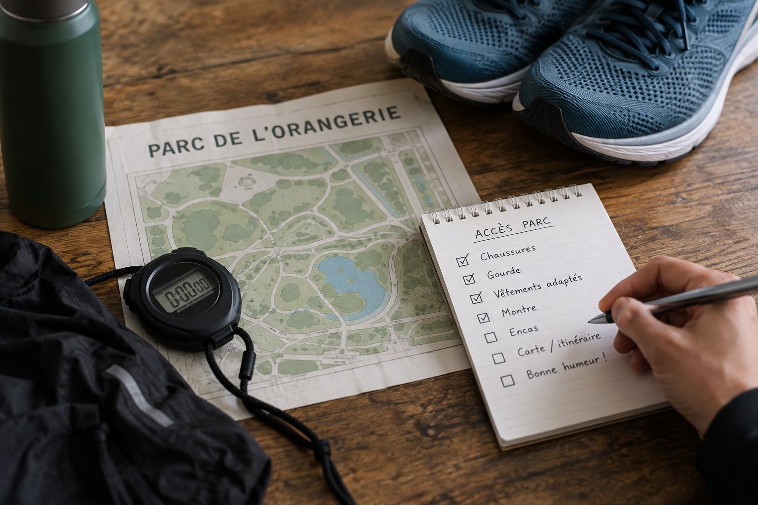
Before leaving, make a compact note with three locations: the waterside entry, the intended turnaround and an ordinary street access you can use if the chosen section is unavailable. Verify each against the map rather than assuming every bridge has steps to both banks. Give the note enough context to distinguish similar crossings, including the street name or another fixed landmark. Keep the return to your accommodation visible on the wider map.
If you are fitting the outing before a train or appointment, reserve time for that final street connection. The point where you leave the canal is not the end of the journey. A delay at a crossing or a need to walk should not force a rushed return beside the water. Choose a modest first section, learn its entrances and then extend a later outing using what you actually observed. This is more informative than collecting a long trace whose access points you cannot subsequently explain.
Run as one of several users
On a shared route, leave space for cyclists, walkers and other runners. Keep movements predictable, particularly when stopping to look at the map or turn around. Step clear of the main line where it is safe to do so. Avoid assuming that a quiet-looking photograph represents the level of use at the time you intend to visit.
Consider daylight and weather for the actual departure. Nearby streets do not guarantee that every waterside stretch is lit, sheltered or suitable after heavy rain. Keep a route back to an ordinary street in mind and carry what you need for the planned outing without depending on an unconfirmed tap or shop.
Afterwards, note the access point, surface and any junction that was less obvious than expected. Record the date of the observation rather than presenting it as permanent route information. These details make a second outing easier while leaving room for works, closures or seasonal changes that should be checked again.