Put both sides on the same map
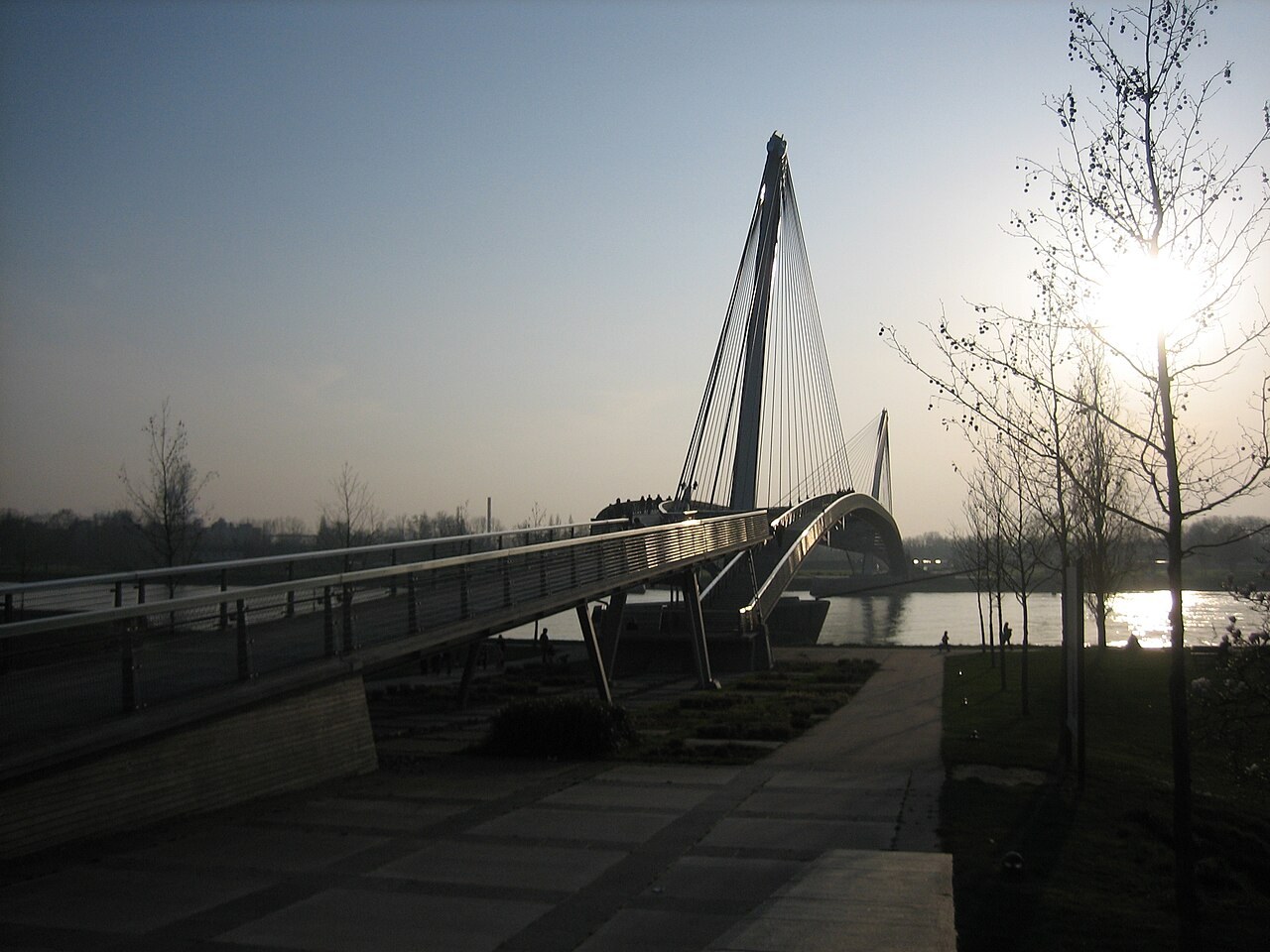
Strasbourg’s official visitor information describes the Jardin des Deux-Rives as a cross-border park between Strasbourg and Kehl, connected by its pedestrian bridge. Start with that official information and a current map of both approaches. Do not let a map crop hide the return side of the outing or the streets connecting it to your transport.
Identify exactly where you will begin and which crossing you intend to use. A bridge can be a route feature, a meeting point or a turnaround, but those functions should be distinguished. If meeting someone, specify the bank and the approach rather than saying at the bridge. Save the location in writing as well as with a map pin.
Choose the return before extending the run
For a first outing, an out-and-back through the same confirmed crossing may be easier to manage than a loop relying on another bridge. If you plan a loop, verify every connection and the relevant pedestrian access. A line that appears to continue on the screen does not establish that you can follow the same bank uninterrupted.
Check current local notices and conditions before departure and read signs on arrival. Keep a shorter option on the starting side if the crossing or onward section is unsuitable. Do not turn a recreational outing into an obligation to cross simply because the route has already been saved to a watch.
Remember the ordinary travel details
A border crossing can introduce practical details beyond the route itself. Check current official travel requirements for your circumstances rather than assuming a running outfit changes them. Review your phone plan if you expect to use mobile data across the border, and download the map in advance so navigation is not dependent on an unexpected connection.
If public transport forms part of the return, confirm the service, ticket validity and stop for the actual day. Keep enough time to walk to it after the running section. A broad transport map is not proof that a particular ticket or timetable applies to the whole journey.
Share the space and record the useful details
Expect a public park and crossing to have several kinds of visitors. Keep a predictable line, slow down when the space becomes busy and stop clear of the through route for photographs. The view is part of the outing, but it should not draw attention away from people approaching from either direction.
Afterwards, record the starting bank, route direction and any access detail that was easy to confuse. Date the note and keep current information separate from personal impressions. That creates a useful base for a future visit without presenting this planning article as a measured circuit or a promise about today’s access.