Use the reserve’s own access page
The official Strasbourg reserve website provides access information for the Robertsau–La Wantzenau forest. It distinguishes several approaches and notes that access arrangements can be more specific than simply reaching a nearby car park. Consult that page and the current reserve notices before choosing where to begin. Avoid relying on a general city guide that may describe an older arrangement.
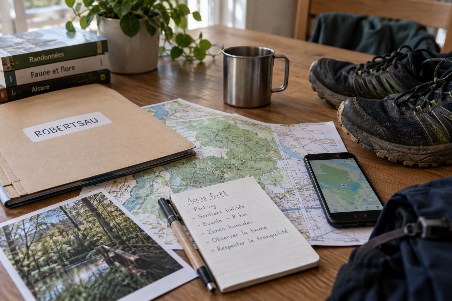
Write down the selected entrance and its approach from your actual arrival point. Check whether the last part is walked, cycled or driven, and keep those stages separate. A parking location, bus stop and authorised forest entrance are not interchangeable map pins. Save enough of the map to understand the connection between them.
Read a proposed loop against the current rules
Use the reserve’s published visitor information to identify permitted paths and any restrictions relevant to the outing. A track shared by another runner shows where a device recorded movement; it does not prove that the same passage is appropriate now. If a saved track crosses a closed section, revise the route rather than treating the line as an instruction.
Keep the first visit simple. Choose a route you can shorten and identify the junctions that lead back towards the entrance. Do not create a complicated loop merely to reach a round distance. When several waterways or similar forest paths appear on a map, a few clearly named decision points are more useful than a long list of turns copied without understanding.
When checking a proposed loop, separate three layers of information. The base map describes the network, the reserve’s visitor information explains the authorised use, and current notices may alter what is possible today. Agreement between a downloaded track and the base map does not settle the other two questions. Keep the relevant notice or link with the route so that you can reopen it shortly before departure.
For a first visit, describe the return in words as well as drawing it. Identify the junction where you leave the outward path and the feature that confirms you are heading towards the selected entrance. If the description depends on an unlabelled shortcut, simplify the route until you can explain it. In woodland with repeated-looking intersections, recognising what information is missing while still at home is easier than trying to repair an elaborate loop on a small phone screen. None of this replaces the signs encountered on the day.
Let the entrance check change the plan
On arrival, read the noticeboard and any temporary signs before starting the watch. If the information differs from the saved plan, follow the current instructions. An alternative outing outside a restricted sector is preferable to assuming that a quiet barrier is optional. Avoid entering an uncertain path simply because another person has just used it.
Consider recent weather and the daylight available for your intended return. Forest access information is not a promise about the condition of every branch, surface or puddle. If conditions make your planned route unsuitable, shorten or postpone it. Keep a clear means of returning to the arrival point without depending on an improvised shortcut.
If you later share your notes, state when you visited and distinguish observed conditions from official rules. A photograph can illustrate the planning process without being presented as a current image of the reserve. For the next visit, reopen the official access information; the value of your notes is that they make the check easier, not unnecessary.