Find the entrance, not just the start line
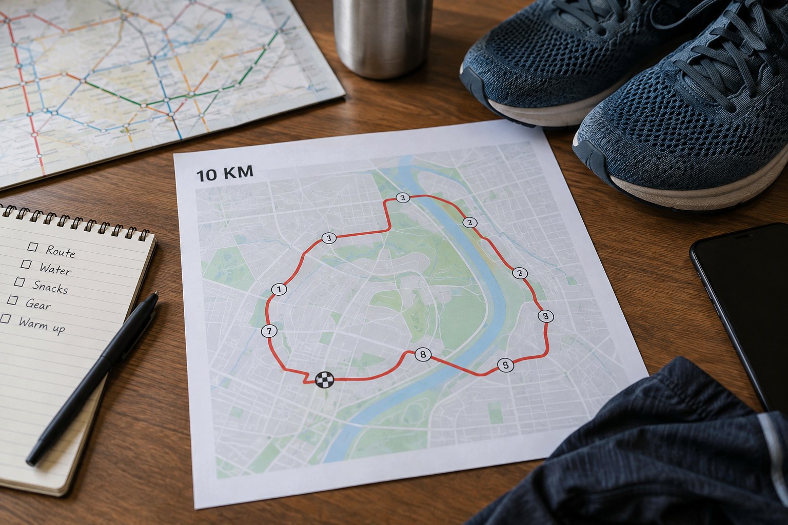
An organiser may show a start line on the course map while directing runners into the area through a gate several streets away. Identify the entrance for your wave or start zone. Save the actual address or landmark and look at the approach on a separate street map. A large venue can have several similarly named gates, so keep the full description rather than an approximate pin.
Distinguish the route for runners from the route for supporters. Access controls, barriers and closed roads can mean you cannot walk together all the way. Agree where to separate before reaching a crowded entrance. If the instructions leave a genuine ambiguity, ask the organiser which access applies to your entry rather than relying on a general navigation app.
Break the journey into small stages
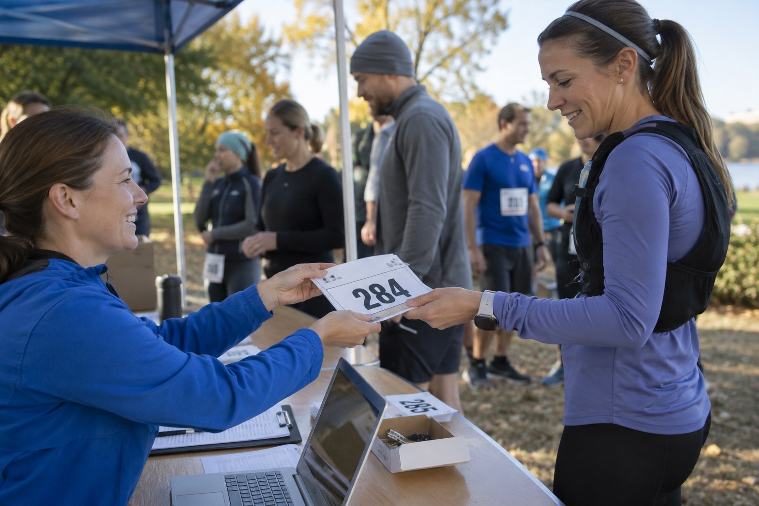
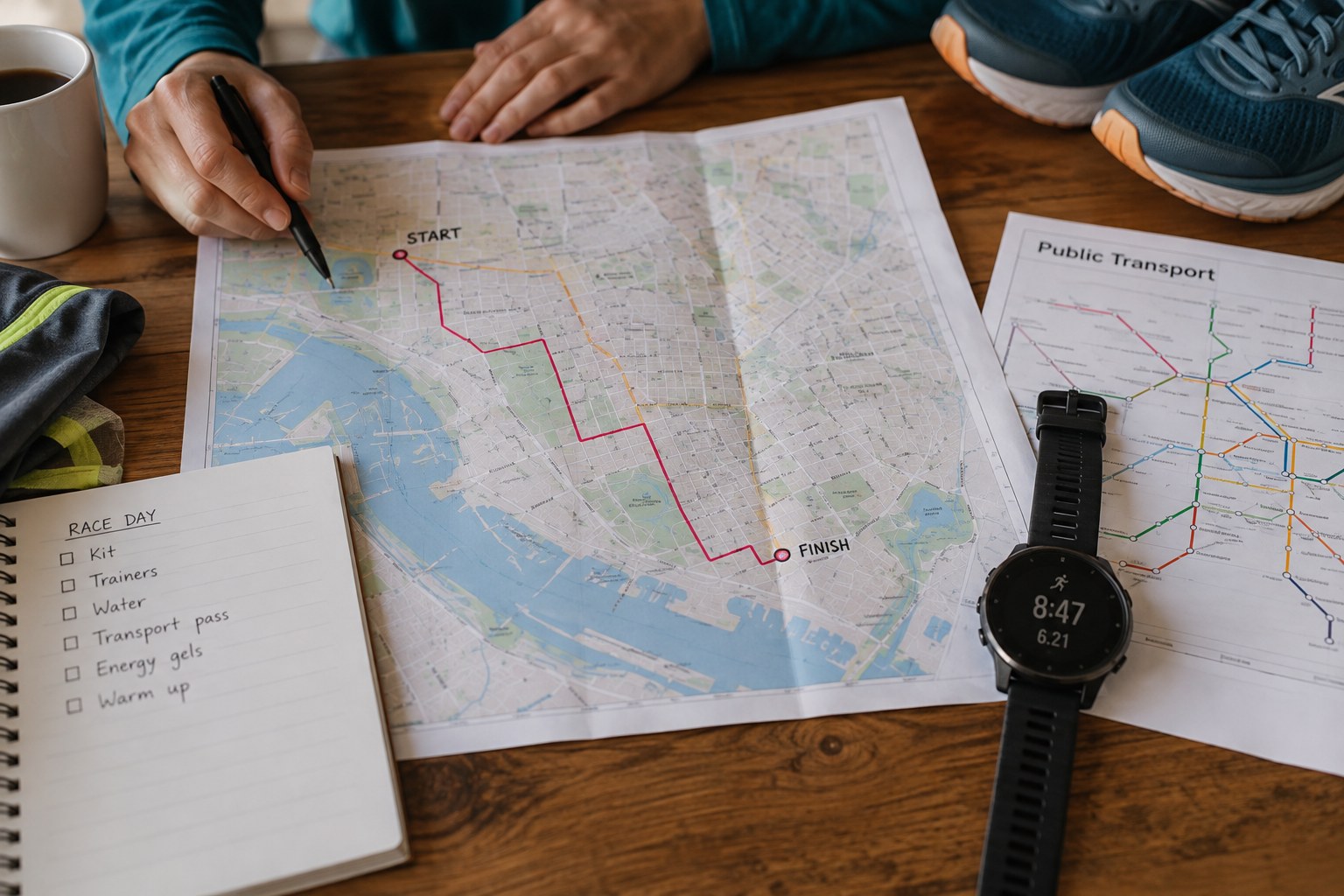
Write the sequence from your accommodation or home: transport stop, arrival point, walking approach, bag drop if used, and start-area entrance. Check the walking section at a useful zoom level. A station that looks adjacent on a broad map may have an exit facing away from the event, or a crossing that closes on race morning.
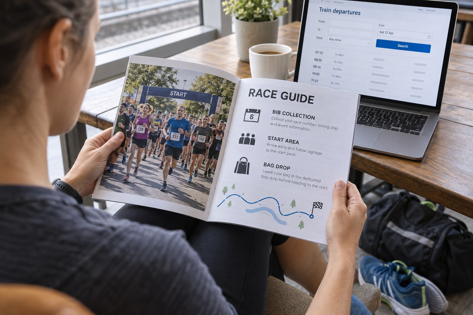
Use event-day transport information where available. Normal service times do not guarantee the same arrangements during road closures. Keep an alternative that does not depend on a last-minute vehicle reaching a restricted street. This might be an earlier connection or a different approach from an open station; it should be a real option you have checked, not simply leave earlier written in the margin.
Work backwards through the stages using the event’s actual deadlines, without inventing a universal arrival margin. The time for entering a start zone is not necessarily the time for reaching the station. Between them sit the walking approach, collection if applicable, bag storage and any checks. Put these tasks in their real order. If two services have separate closing times, identify which one constrains your journey first.
A useful rehearsal is to explain the route to someone using only the saved information. Can they identify the station exit, the permitted crossing and the correct gate? If the answer requires you to point vaguely across an entire park, improve the note. Label screenshots with their purpose, such as station to bag drop or bag drop to entrance, and keep the official access diagram alongside them. A familiar-looking map becomes more useful when each image answers one specific question.
Keep navigation available when the area is busy
Save the relevant map and instructions offline. A screenshot of a small area can help with the final turns, while a wider map explains where you are if a gate changes. Keep the start time and access deadline with those images so you do not have to search several messages in a crowd.
On arrival, compare signs and staff instructions with your saved plan. The plan is there to orient you, not to overrule a change on the ground. Avoid stopping in the middle of a moving queue to inspect the phone. Step aside, confirm the next stage, then continue. Once you know the approach, tell any companion the same precise meeting or separation point so that everyone is using the same version of the morning.